How Mobile Networks Made Early Smartphone Navigation More Practical
Early smartphones in Poland often took more than 10 minutes to establish a GPS position. Mobile Internet and carrier transmitter data helped make car navigation more practical.
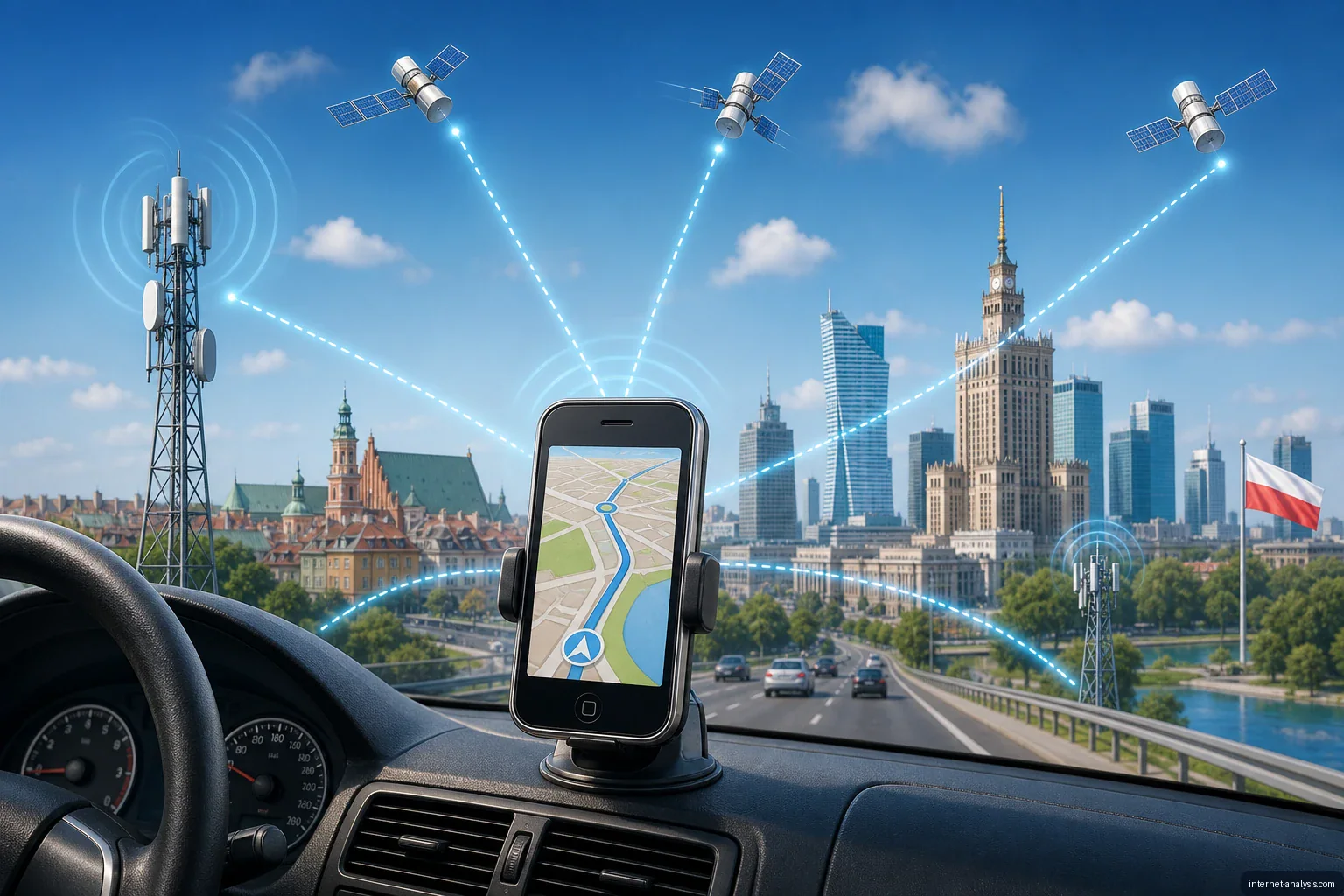
For many drivers in Poland, the first encounter with in-car navigation came not through a dedicated GPS unit, but through a smartphone purchased from a mobile carrier. Early devices from manufacturers such as HP and HTC were marketed primarily to business customers, with navigation software helping carriers present them as modern, useful tools.
The limitations of early smartphone GPS
These early smartphones were not optimized to acquire and continuously maintain a satellite signal. Establishing a position and calculating a route could take more than 10 minutes, especially when the device lacked information that could speed up the initial location process.
Such delays made smartphone navigation impractical. A driver could be ready to leave long before the phone had established where the vehicle was or determined the route.
Mobile Internet provided assistance
Improvements in information technology offered a partial solution without requiring a complete, dedicated GPS system. Mobile Internet allowed compatible services to supplement satellite positioning with location data derived from the cellular network.
Subscribers with an appropriate data service could have their approximate position calculated relative to the carrier’s transmitters. This network assistance helped the device determine its location more quickly, reducing one of the largest barriers to using an early smartphone for car navigation.
A step toward usable mobile navigation
Cellular assistance did not transform early smartphones into dedicated navigation hardware, but it made their positioning features more practical. The combination of GPS capabilities, mobile data and carrier infrastructure marked an important stage in the development of smartphone-based navigation.

Krzysztof
Broadband Infrastructure Editor at Internet AnalysisKrzysztof covers broadband technologies, provider availability, and infrastructure change. He focuses on making technical coverage data understandable without overstating what provider-reported availability proves.
View author profile →How this article was prepared
Cross-checks provider, technology, geography, and reporting-vintage fields; separates advertised availability from measured performance; and flags incomplete coverage denominators.
Read our methodology →Reviewed by the Internet Analysis Editorial Team
Reviewed by the Internet Analysis Editorial Team · Updated September 14, 2026
Meet the editorial team →Article context, review and related questions
Early smartphones in Poland often took more than 10 minutes to establish a GPS position. Mobile Internet and carrier transmitter data helped make car navigation more practical.
| Measure | Value | Context |
|---|---|---|
| Article type | Mobile Technology | Editorial classification |
| Reading time | 2 minutes | Estimated at approximately 220 words per minute |
| Editorial review | Internet Analysis Editorial Team | Updated September 14, 2026 |
| Review date | September 14, 2026 | Latest stored article update |
Methodology
Cross-checks provider, technology, geography, and reporting-vintage fields; separates advertised availability from measured performance; and flags incomplete coverage denominators.
Full methodology →Data freshness
- Page updated
- Data period
- September 14, 2026
- Responsible editor
- KrzysztofBroadband Infrastructure Editor
Primary sources
- Internet Analysis editorial methodologyReview and limitation rules
Limitations
- The article is informational and may simplify technical details for readability.
- Products, standards, prices and service availability can change after the review date.
- The latest review date does not guarantee that every external product or service remains unchanged.
Related questions
What is the main point of “How Mobile Networks Made Early Smartphone Navigation More Practical”?
Early smartphones in Poland often took more than 10 minutes to establish a GPS position. Mobile Internet and carrier transmitter data helped make car navigation more practical.
How was this article prepared?
Cross-checks provider, technology, geography, and reporting-vintage fields; separates advertised availability from measured performance; and flags incomplete coverage denominators.
When was this information last reviewed?
The latest stored review or update date is September 14, 2026.